
Walking the Coast of Great Britain
Coast: “the edge or margin of the land next the sea, the sea-shore“.
In February 2017 I set off from my home in West Sussex to walk around the British coast. It was my intention to walk all 5600 miles (9000 kms) of it. My latest adventure challenge.
Since it was first done in 1978 by the now-legendary John Merrill, perhaps only a few dozen people have made a complete circuit in one walk, though many have walked and are currently walking the coast in stages.
How Long is the Coast of Great Britain?
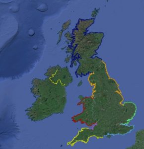
The Ordnance Survey records the length of the British mainland coast as 11072.76 miles (17,820 km), but measuring it is complicated by the Coastline Paradox, which states that length of a stretch of coastline depends on the scale of measurement – the smaller the unit of measurement, the longer the measured length.
For practical purposes, my walk is relatively easy to measure because for the most part I will be walking on footpaths and roads (see Principles), not scrabbling around the Mean High Water Mark. If I did, the distance would be something close to 19,491 miles (31,368 km) according to the British Cartographic Society.
The CIA World Factbook records the UK coastline as (7723 miles) 12,429 km, including Northern Ireland. How this is calculated or whether islands are included is unclear. Nonetheless, it does begin to approach John Merrill’s map-estimated distance of 6824 miles.
My Original Estimate
My estimate was 5700 miles (9200 km) based on an accurate Google Earth trace of the footpaths, roads and open country I intended to follow. Several factors made it shorter than Merrill’s original route:
- There are bridges (e.g. Kylesku and Humber) that were not there in 1978
- I intended to use some ferries in England and Wales rather than walk around long, inland estuaries
- I intended to use the Severn Bridge walkway, not to detour to Gloucester, nice though it is …
Whichever way you look at it, 5000+ miles is a reasonably long walk. I reckoned on 243 days, averaging 23.4 miles (37km) walking per day.
See Principles for more details about how I planned my route.
My Actual
My actual distance after the injury breaks and the curtailment of the whole plan was 1864 miles (3000km), which just goes to show how big Scotland is!
See my Schedule for the actual day record and maps.